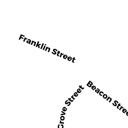
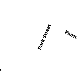
70 CHESTNUT ST
Owner Information
CLISHAM KATHRYN
70 CHESTNUT ST
CLINTON, MA 01510


Property Details
70 CHESTNUT ST is classified as a CONDO NL R (Condominium).
The primary structure on this property was built in 1910. There are 2,340ft2 of built area within this property. There is 1,446ft2 of residential/living space within this property.
70 CHESTNUT ST is valued at $177,000. The land is valued at $0 and the structures are valued at $177,000.
The most recent deed for 70 CHESTNUT ST is recorded at the local registrar in Book 33999, Page 0317. 70 CHESTNUT ST was last sold on Tuesday, June 29, 2004 for $125,000.
Assessment data from fiscal year 2022.
Flood Data
According to the FEMA National Flood Hazard Layer, this property does not appear to be in a flood zone. It may also be in an area not yet reviewed. Nonetheless, confirm this information prior to taking any action.
To view the flood hazards around this property, create a FEMA "Firmette" Map of the area around 70 CHESTNUT ST.
Broadband Internet Providers
| Provider | Type | Bandwidth (mbps) | |
|---|---|---|---|
| Comcast | Cable | 1000 | 35 |
| VSAT Systems, LLC. | Satellite | 2 | 1 |
| HughesNet | Satellite | 25 | 3 |
| Verizon New England Inc. | DSL | 15 | 1 |
| Viasat Inc | Satellite | 100 | 3 |
| GCI Communication Corp. | Satellite | 0 | 0 |
Broadband service provider data from December 2020.